
Ditchling Common Country Park
Ditchling Common, East Sussex
 Photo: User:Paste, Public domain
Photo: User:Paste, Public domain
188 acres of common east of Burgess Hill, made a country park by East Sussex County Council in 1974. It is a Site of Special Scientific Interest, valued for its wildlife and plants.
Highlights
- Site of Special Scientific Interest
- Open common crossed by paths
- Fishing with a permit
Good to know
- Keep dogs on a lead or under close control and clear up after them
- Stay on the marked paths
- Nearest stations are Burgess Hill and Wivelsfield
Getting there
Ditchling Common Country Park, Folders Lane East, Ditchling Common, near Burgess HillParking: Large car park on Folders Lane East at the southern end of the park.
Get directionsChecked on 16 October 2026 against eastsussex.gov.uk. Details change, so please confirm with the venue before you travel. How we check
Spotted something wrong or missing? Tell us
Nearby
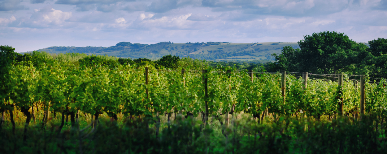 Image: Ridgeview
Ridgeview Wine Estate
One of the pioneers of English sparkling wine, making wine near Ditchling for more than 25 years. Join a tour and tasting, eat at The Rows and Vine restaurant overlooking the vines, or pick up a bottle at the Wine Bar and Shop.
 Image: Tates of Sussex
Museum of Gardening and South Downs Heritage Centre
A free museum of gardening history at Tates' South Downs Nurseries in Hassocks, set up by the Budding Foundation and named after Edwin Beard Budding, who invented the lawnmower in 1830. The heritage centre also houses The Cube art gallery, the Sussex Food Hall and a craft studio, so it pairs easily with lunch and a browse.
 Photo: Chris Heaton, CC BY-SA 2.0
Blackcap
A 623-acre stretch of the South Downs ridge just west of Lewes, with views north across the Weald and south towards the coast. Sunken droveways, burial mounds and the route Simon de Montfort is said to have taken to the Battle of Lewes in 1264 give it plenty of history. Bracky Bottom, a secluded coombe, is a lovely spot on a summer evening.