
South Downs Way
Eastbourne, East Sussex
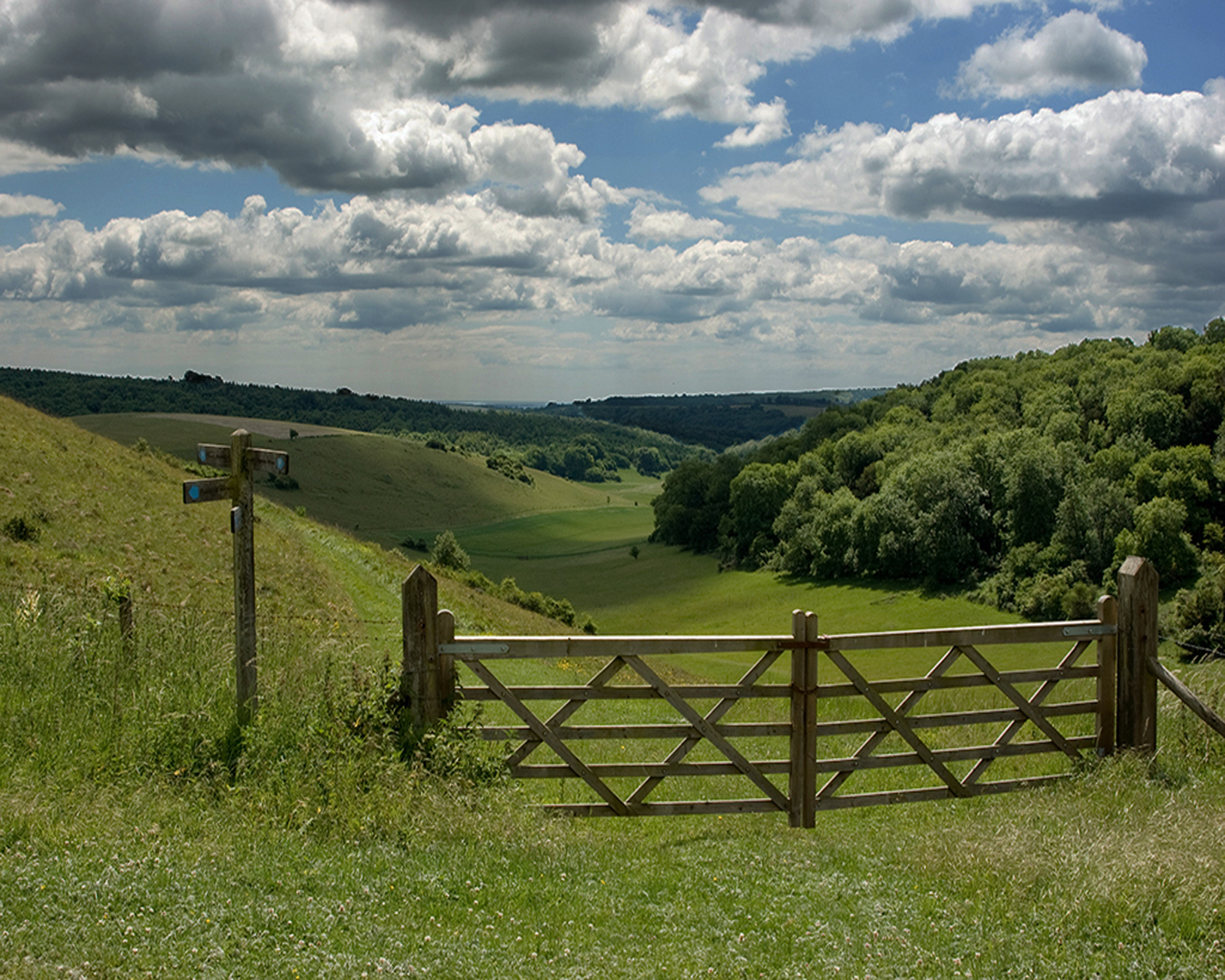 Image: National Trails
A 100 mile National Trail along the chalk ridge of the South Downs from Winchester to Eastbourne, open to walkers, cyclists and horse riders. Tackle the whole route over about nine days, or pick a short section for a day out with views to the sea.
Highlights
- 100 miles (160km) from Winchester to Eastbourne
- Passes Devil's Dyke, the Long Man of Wilmington and the Seven Sisters
- Well waymarked along its length
- Circular and linear short walks to try
Good to know
- The trail runs entirely within the South Downs National Park
- Taking a guidebook or map is recommended
Getting there
South Downs Way, National Trail from Winchester, Hampshire, to Eastbourne, East SussexParking: Many car parks along the route; use the interactive map on the National Trails site to plan.
Get directionsChecked on 15 October 2026 against nationaltrail.co.uk. Details change, so please confirm with the venue before you travel. How we check
Nearby
 Image: Towner Eastbourne
Towner Eastbourne
Eastbourne's contemporary art gallery, with changing exhibitions, a cinema and free family activities. It is an easy rainy-day stop close to the seafront.
 Image: Eastbourne Bandstand
Eastbourne Bandstand
A listed 1935 seafront bandstand built in Neo-Grec style, hosting tribute nights, brass band afternoons and fireworks concerts. Seating is unreserved, either director chairs in the arena or on the balcony.
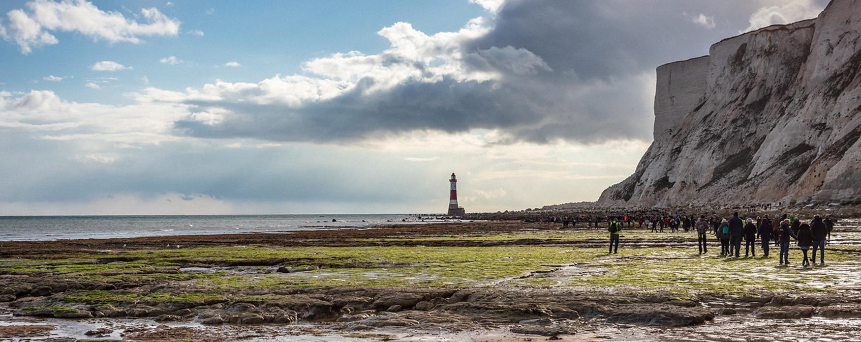 Image: Visit Eastbourne (Eastbourne Borough Council)
Beachy Head
Britain's highest chalk sea cliff, rising 162 metres above the lighthouse and the Channel. Walk up from the western end of Eastbourne seafront on the South Downs Way, or park at the top and stroll towards Belle Tout.